
Gang Aft Agley
So spoke the poet, Robert Burns. He was referring to my annual bike ride the day after Thanksgiving when he said “The best laid schemes o’ mice an’ men gang aft agley.” That was the case this year, for sure.
I ride the Las Cruces Loop trail several times a year but always the day after Thanksgiving to burn off that celebration of gluttony. The map indicates the trail is 18.7 miles but I have to add another 4 to 5 miles to access the mapped portion, making the total ride 23-24 miles. This year I was stymied by a flat front tire about 2 miles into the ride. I returned home, repaired the tire using a tube I had in the garage left over from the San Juan hut trip from 2014 and resolved to ride over the weekend. So on Sunday, I took my trusty Marin East Peak out of the garage only to find the tire flat again!! I filled it with air and saw the green Slime the tube was filled with permeating through the tire tread. Slime is a sort of puncture-sealing/preventing concoction that is a necessity here in the desert Southwest where there are all kinds of hazards to bike tires like goat-heads, thorns, cacti, and the Las Cruces roads themselves. Monday trip to the bike shop on the calendar.
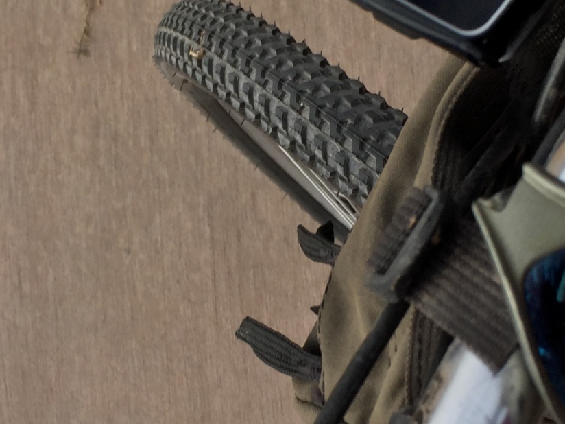
Nice New Tire
The new tire installed I planned another attempt at the ride. My step-son, Ben, offered to accompany me the next weekend. Set up the ride for Saturday. Wrong!!! A cold front came through accompanied by winds getting near hurricane force all day Saturday. No way we were riding in 40 to 50 mph gusts with 25-30 mph sustained wind speeds. So about 10AM Sunday we set out in 34F temp with a slight wind from the east.
Down the ditch known as the Leasburg Canal to the intersection of the loop trail. This irrigation canal is a necessity for the farms in the area.
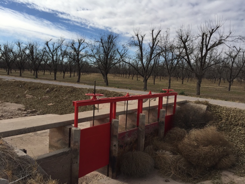
One of the gates that diverts water to the pecan orchard
You can see the ditch is empty this time of year. It does make for a convenient storage place for tumbleweeds though.
Riding along, heading south then west, there are always some interesting sights:
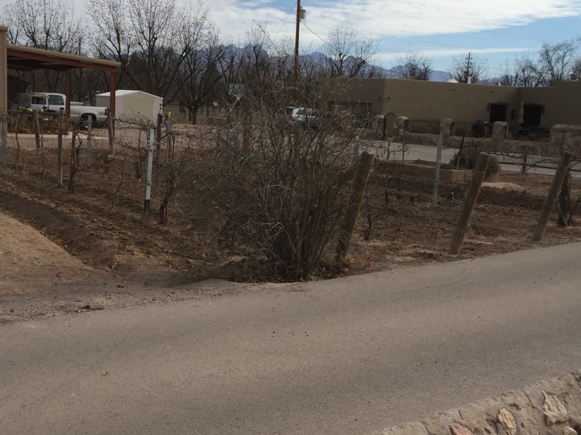
Vineyard


The ultimate in home protection
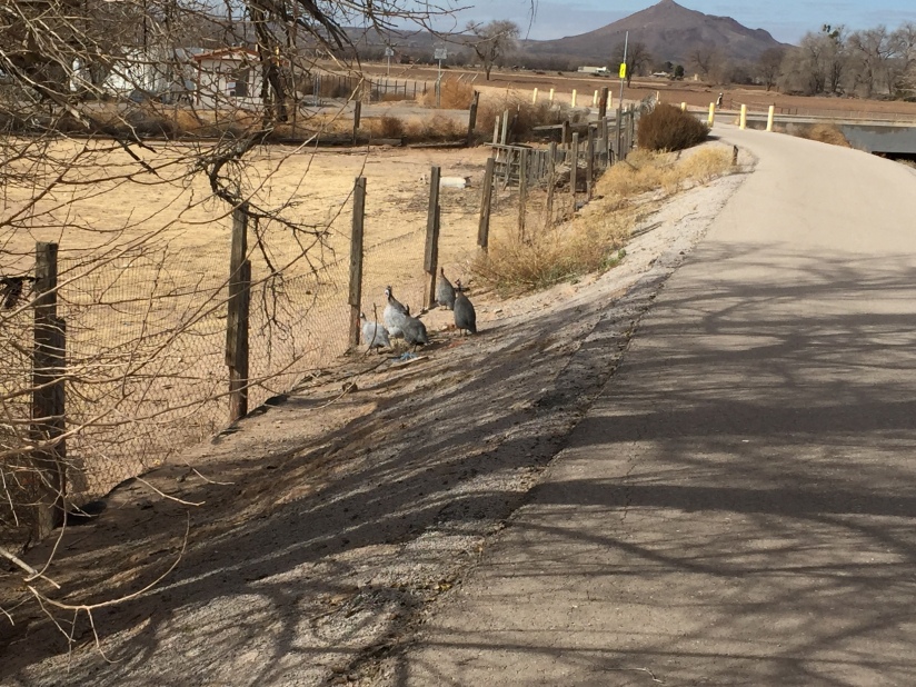
Guinea Hens
By now we are about 4 miles into the ride, heading west toward the Rio Grande.
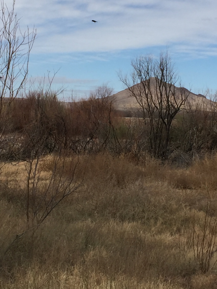
Picacho Peak
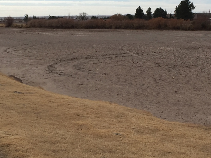
We turned South along the east bank of the river. The trees and grass indicate the “wetlands” or green belt along the river as it winds through the Chihuahuan high desert. Of course, the river only flows through this area a few weeks a year in the spring and early summer when its waters can be tapped for irrigation. This time of the year, it’s better for doing doughnuts with your ATV:
After about 3 1/2 miles along the river the trail transitions to road riding through the historic town of La Mesilla then through the campus of New Mexico State University (GO AGGIES!!):


Across the street from the campus is a shopping center with a nice market and Milagro Coffee. This is a natural place to take a break, about 15 miles into the ride. Relax, have a latte and a biscochito or cheesecake. Refreshed, we remount. One more good climb then it’s all downhill.
But Mr. Burns had other plans. As we progressed through the parking lot there was a plaintive cry: “Dad, I’ve got a flat.” Ben had recently redone his front tire but not the rear from which he extracted three thorns. So, back to Milagro, call for a ride, and wait. Better luck next time!!!!